
Heavy Storms and Flash Flooding Threaten the Southwest
Updated by Henry Margusity
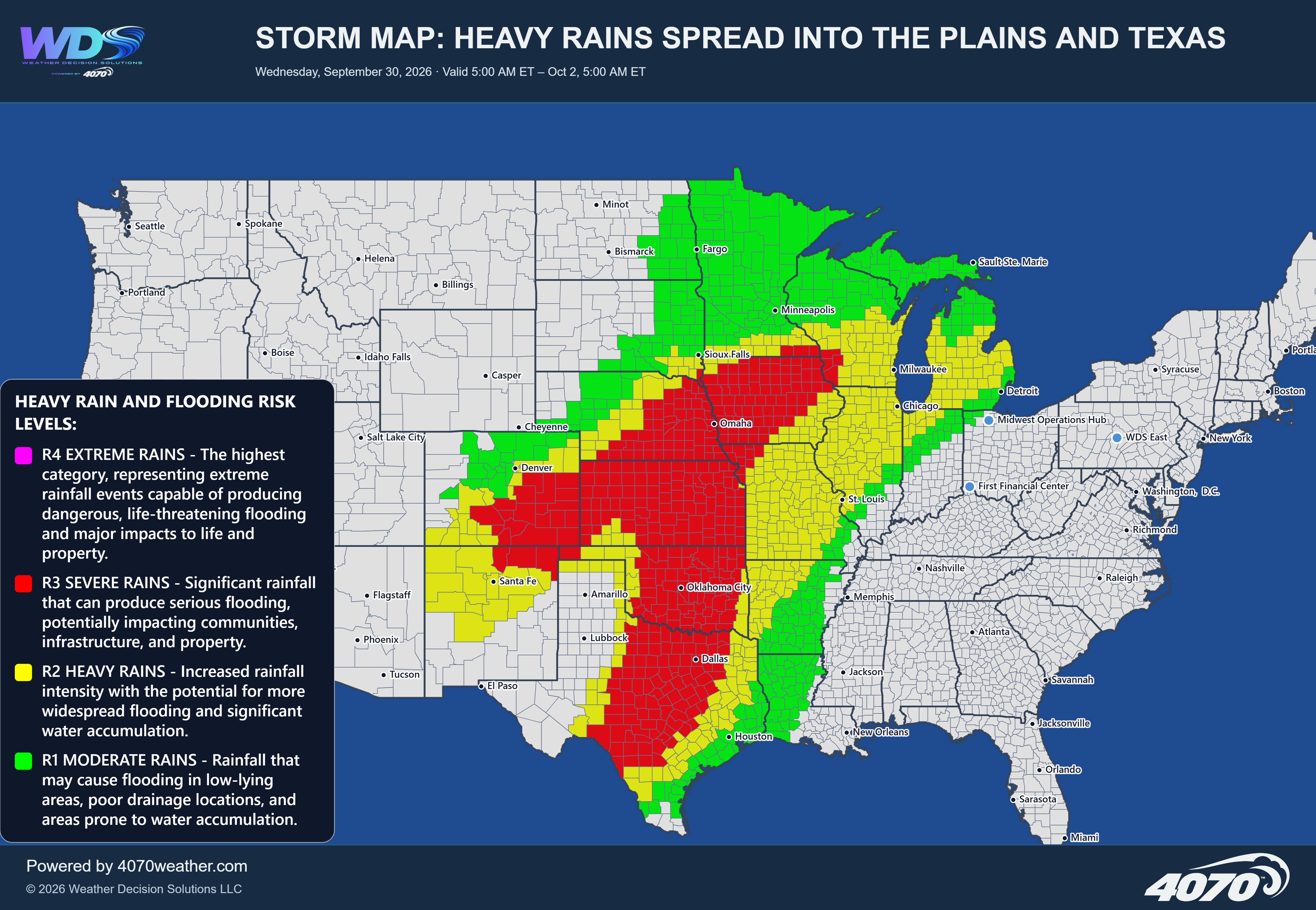

Storm Map: Storms and Locally Heavy Downpours – Sunday, October 25, 2026
Unsettled Weather Continues Across the Southwest and Southern High PlainsA broad area of showers and thunderstorms is expected to develop across New Mexico and portions of the southern and central Rockies today, with activity extending eastward into the Texas Panhandle and western Texas. The latest 4070 storm map highlights the potential for locally heavy downpours, with rainfall becoming especially important where storms persist or repeatedly move over the same locations.
The greatest concentration of storm activity is expected across New Mexico, including areas near Albuquerque, Santa Fe, and Alamogordo, extending south toward El Paso. The risk area also stretches northward into portions of Colorado and east across parts of the Texas Panhandle.
Locally Heavy Rainfall and Flash FloodingSome locations could receive 1–3 inches of rain in a short period, particularly where thunderstorms become slow-moving or repeatedly affect the same area. Rainfall totals will vary, and not every location within the highlighted region will experience the heavier amounts.
The primary concern is localized flash flooding. Normally dry washes, arroyos, low-water crossings, and poor-drainage areas could see rapid water accumulation. Runoff from higher terrain may also flow into nearby valleys and communities, creating hazards even where rainfall is not particularly heavy.
Areas to WatchNew Mexico: Albuquerque, Santa Fe, and areas south toward Alamogordo and El Paso could experience showers and thunderstorms with locally heavy rainfall.
Southern Colorado: Scattered showers and storms may develop across portions of the region, with heavier downpours possible in isolated locations.
Texas Panhandle and western Texas: Storms may extend eastward, including areas near Amarillo, Lubbock, and Odessa, bringing periods of rain and localized flooding concerns.
Storm coverage and intensity will depend on how the atmospheric conditions evolve throughout the day. Some communities may see only brief showers, while others could experience repeated downpours. Any storms that linger over the same location will increase the potential for runoff and flooding.
Although the map emphasizes heavy rainfall rather than an extreme storm scenario, localized impacts could still be significant where the heaviest precipitation develops.
The Bottom LineSunday's weather focus is on showers and thunderstorms across New Mexico, southern Colorado, and portions of the Texas Panhandle and western Texas. Locally heavy rainfall of 1–3 inches is possible in a short period, creating a risk of flash flooding in vulnerable locations.
Stay alert for changing conditions, especially near washes and low-lying roads. Turn around, don't drown. Never drive through flooded roadways.
Daily Storm Reports are free public forecast discussions from the WDS ops desk.
For full forecast coverage, visit the 4070 weather platform, the forecasts page, or the storm report archive.