
Heavy Storms and Flash Flooding Threaten the Southwest
Updated by Henry Margusity
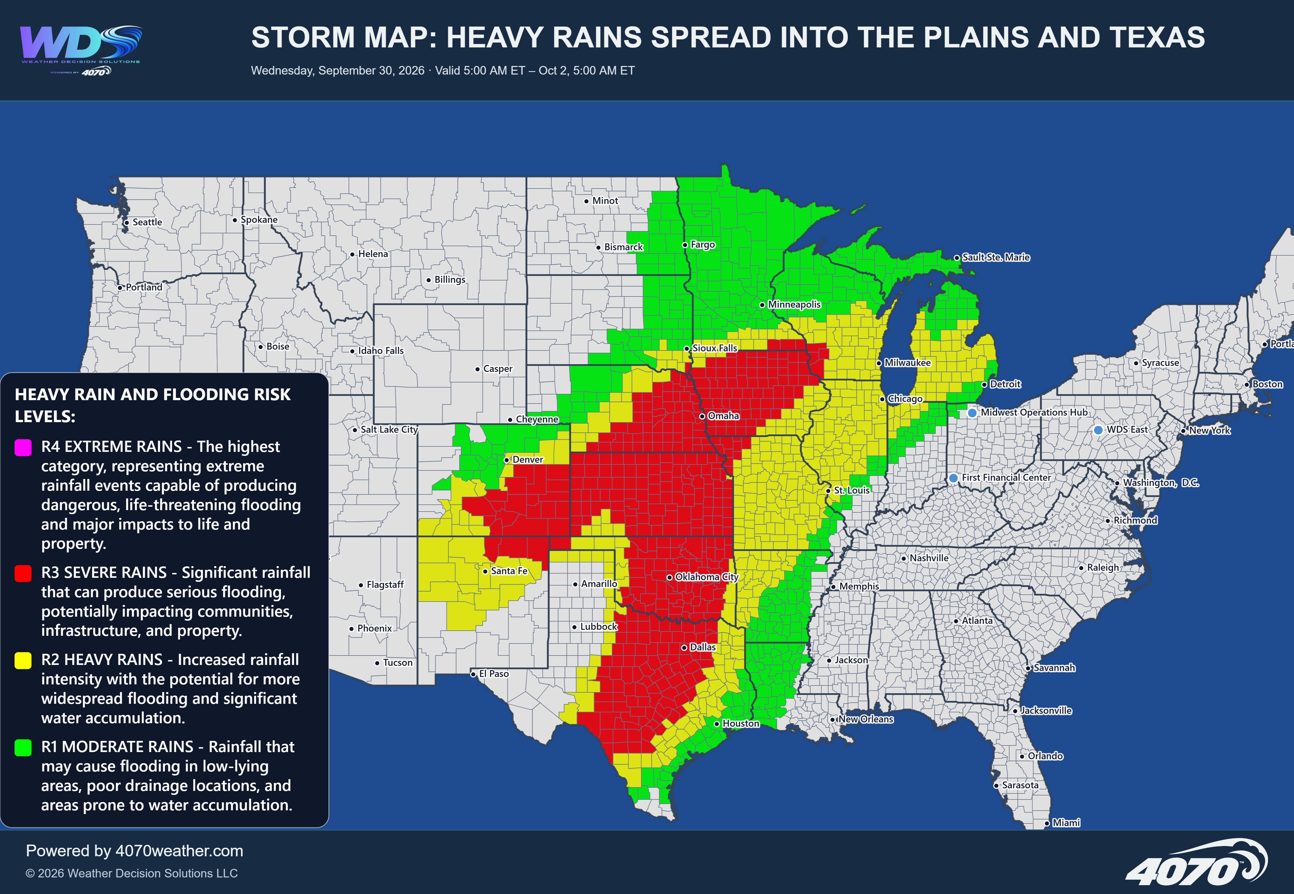

Heavy Storms and Flash Flooding Threaten the Southwest
Saturday, October 24, 2026
The Main ConcernThe latest 4070 storm outlook highlights a broad area of showers and thunderstorms across New Mexico and portions of the Four Corners region, where locally heavy rainfall could lead to flash flooding today. The primary concern extends from southern Colorado and eastern Utah into central and southern New Mexico, including the Albuquerque, Santa Fe, Alamogordo, and El Paso regions.
Rainfall totals could reach 1 to 3 inches in a short period of time in the heaviest downpours. While these amounts will not occur everywhere, localized areas could receive enough rain to produce rapid runoff and flooding, particularly if thunderstorms repeatedly move over the same locations.
Heavy Rain Across New MexicoNew Mexico is at the center of today's heavy rainfall threat. Showers and thunderstorms could develop across a broad portion of the state, with periods of heavier precipitation affecting both central and southern communities.
The Albuquerque and Santa Fe areas should monitor developing storms, while locations farther south toward Alamogordo and El Paso could also experience locally heavy downpours. The surrounding risk area extends northward into southern Colorado and westward toward portions of the Four Corners.
The greatest concern is not necessarily widespread, continuous rainfall, but rather pockets of intense precipitation that develop over a relatively short period. Where storms persist or repeatedly affect the same area, rainfall could accumulate quickly.
Flash Flooding and Dangerous RunoffThe desert Southwest can experience dangerous flooding even when rainfall is highly localized. Dry washes, arroyos, mountain canyons, and low-water crossings can fill rapidly as runoff flows away from higher terrain.
Urban areas may also experience ponding on roads and localized flooding where drainage systems cannot handle intense rainfall rates. Motorists should be particularly cautious when traveling through areas affected by thunderstorms, especially after dark or where visibility is reduced by heavy rain.
Areas to WatchCentral New Mexico: Albuquerque, Santa Fe, and surrounding communities could experience heavy showers and localized flooding.
Southern New Mexico: Areas near Alamogordo and farther south may see periods of heavy rainfall and rapid runoff.
El Paso region: Localized downpours could create flooding concerns in nearby drainage areas.
Southern Colorado and the Four Corners: Scattered heavy showers may affect higher terrain and surrounding valleys.
Adjacent portions of the Southwest: Rainfall coverage will vary, but isolated heavy downpours remain possible within and near the highlighted risk area.
The 4070 storm map indicates a notable risk of locally heavy rainfall across New Mexico and adjacent portions of the Southwest today. Some locations could receive 1 to 3 inches of rain in a short period, creating the potential for flash flooding, rapid runoff, and hazardous travel.
Not every community will experience significant rainfall, but where stronger storms develop, conditions could deteriorate quickly. Residents should monitor changing weather conditions and avoid flooded roadways and washes.
Remember: Turn around, don't drown. Never drive through floodwater.
Daily Storm Reports are free public forecast discussions from the WDS ops desk.
For full forecast coverage, visit the 4070 weather platform, the forecasts page, or the storm report archive.