
CALIFORNIA GETS SLAMMED
Updated by Henry Margusity
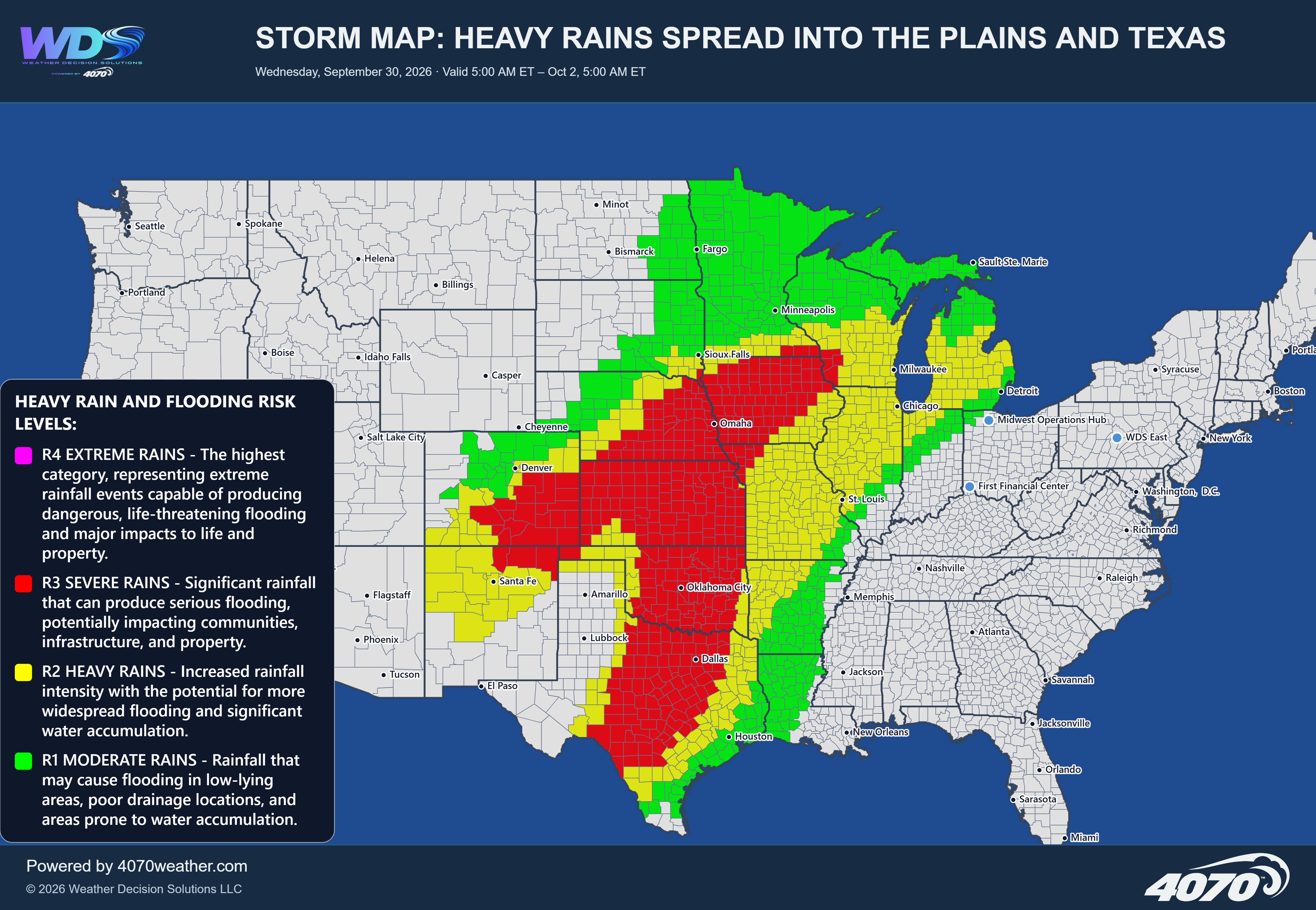
Storm Map: El Niño Storm Slams California – Heavy Rain and Mountain Snow Ahead
Tuesday, November 17 – Friday, November 20, 2026
A powerful Pacific storm system is expected to move into California beginning Wednesday, bringing a significant round of heavy rainfall, strong winds, and substantial mountain snowfall. This system is part of the increasingly active Pacific storm pattern, with a broad area of moisture pushing inland from the Pacific Ocean and spreading across much of the western United States.
The latest 4070 storm outlook highlights two major weather threats: heavy rainfall across California and heavy snowfall across the higher elevations of the Sierra Nevada, Nevada, and portions of the Intermountain West.
Heavy Rainfall Across CaliforniaRain will begin spreading into Northern California and the coastal regions as the storm approaches. The heaviest rainfall is expected from Wednesday into Thursday, affecting the San Francisco Bay Area, Sacramento Valley, and areas farther south toward Santa Barbara and the Los Angeles Basin.
Periods of moderate to heavy rainfall could develop as Pacific moisture moves inland. Some locations may experience persistent rainfall, while heavier bands could produce substantial rainfall over shorter periods.
The San Francisco Bay Area and Sacramento Valley will also need to prepare for strong winds as the storm moves inland. These winds could create difficult travel conditions, particularly along exposed coastal areas, higher elevations, and locations where gusts may affect trees and power lines.
Farther south, rainfall will extend through portions of Central and Southern California, including the Los Angeles Basin. Localized flooding, ponding on roadways, and water accumulation in poor drainage areas will be concerns.
Heavy Snow Across the Sierra Nevada and Intermountain WestWhile California's lower elevations deal with heavy rainfall, the higher elevations will experience a major winter weather event.
The Sierra Nevada is expected to receive heavy snowfall, with the potential for accumulations reaching as much as six feet in some of the higher mountain locations. This will be a significant snowfall event, particularly for mountain communities, ski areas, and major travel corridors.
Heavy snow will also extend eastward across Nevada and into portions of Utah and the Intermountain West. Additional snowfall is expected across higher elevations of Idaho and surrounding mountain regions as the storm progresses.
The heaviest mountain snowfall is expected Wednesday into Thursday, with the potential for difficult travel, reduced visibility, and hazardous conditions along mountain highways and passes.
The El Niño ConnectionThis storm is another indication of the increasingly active Pacific storm track developing across the West. A strong El Niño can favor an active southern Pacific storm track and increase the potential for significant precipitation across parts of the West Coast.
However, individual storm systems are still governed by their own atmospheric dynamics, and El Niño is best viewed as part of the larger seasonal background rather than the sole cause of any particular storm.
As we move deeper into November, the western storm track will be important to monitor, especially as additional Pacific systems could bring more opportunities for heavy rainfall and mountain snowfall.
The Bottom LineWednesday into Thursday will be the primary period of concern as this Pacific storm moves into California. Heavy rainfall and strong winds will affect portions of the coast, San Francisco Bay Area, Sacramento Valley, and Southern California, while the Sierra Nevada could receive several feet of snow.
This is a substantial early-season storm for the West, and the combination of heavy rain, mountain snowfall, and strong winds will create a variety of weather-related impacts through Thursday.
Daily Storm Reports are free public forecast discussions from the WDS ops desk.
For full forecast coverage, visit the 4070 weather platform, the forecasts page, or the storm report archive.