
TEXAS STORMS
Updated by Henry Margusity
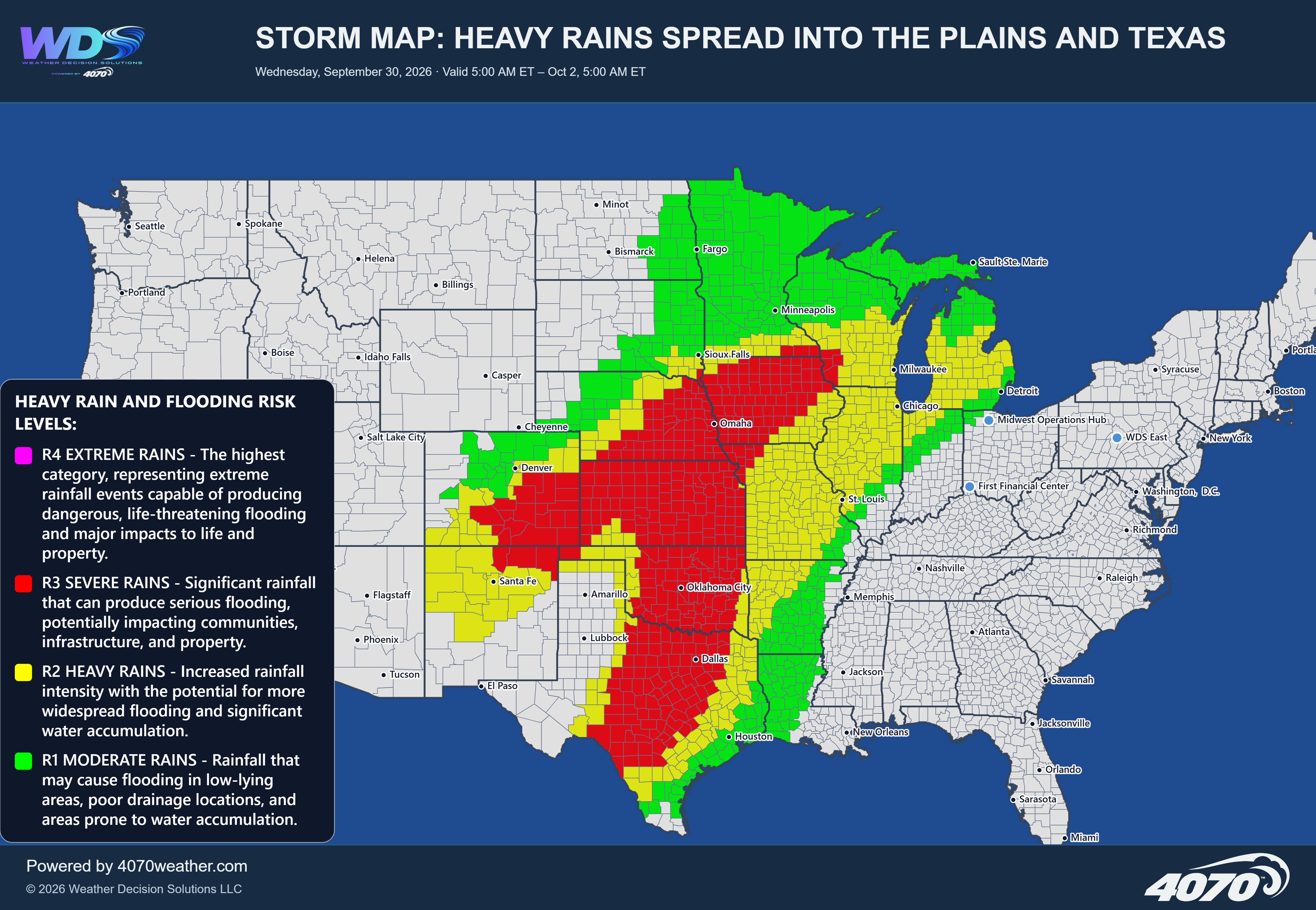
Storm Map: Texas-Style Storms Tonight and Sunday – November 14–15, 2026
A developing storm system across the southern Plains will bring another round of thunderstorms to Texas tonight, with activity continuing into Sunday. The latest 4070 storm map highlights a broad area of thunderstorms developing along and ahead of a frontal boundary, with the greatest concern extending across central and southern Texas toward the Gulf Coast.
Storm Development Across TexasA surface low-pressure system developing near the Texas Panhandle will help organize thunderstorms as a warm, moist air mass remains in place across the southern portion of the state. A cold front advancing southward will provide an additional focus for storm development, while a warm frontal boundary across central and southern Texas will help separate the warmer, more unstable air from cooler conditions farther north.
The combination of these boundaries will support additional thunderstorm development tonight, particularly across central and southern Texas.
Highest Risk Across South TexasThe strongest risk area is highlighted across South Texas, including portions of the Coastal Bend, Corpus Christi, and areas extending inland toward San Antonio. These locations are within the TS4 severe storm category, indicating the potential for damaging wind gusts exceeding 60 mph, hail larger than one inch, and a few tornadoes.
This will be the area to watch most closely tonight as storms organize and move through. Some storms could become intense, producing localized damaging winds, large hail, and potentially rotating thunderstorms.
Central Texas and the Gulf CoastA broad TS3 risk extends across portions of central Texas, including areas near Austin, Waco, and surrounding communities, with the potential for heavy thunderstorms, gusty winds, small hail, and locally heavy rainfall.
The TS2 risk area extends across a much larger portion of Texas, including areas farther west and north. Even outside the highest-risk zone, thunderstorms could produce gusty winds and heavy downpours.
Timing: Tonight Into SundayThunderstorm activity is expected to increase tonight as the low-pressure system and associated frontal boundaries interact with the warm, unstable air across Texas. Some storms could become severe, particularly across the southern and coastal portions of the state.
Storms may continue into Sunday as the system progresses and the frontal boundaries move through the region. The coverage and intensity of thunderstorms will depend on how quickly the system develops and how much instability remains available.
The Primary ThreatsDamaging wind gusts, with the strongest storms potentially exceeding 60 mph.
Large hail, particularly across the higher-risk areas of South Texas.
A few tornadoes cannot be ruled out, especially with stronger, organized thunderstorms.
Heavy rainfall and localized flooding, particularly where storms repeatedly affect the same communities.
Texas remains the primary focus for severe weather tonight and into Sunday. The highest threat is across South Texas and the Coastal Bend, while central Texas will also see the potential for strong to severe thunderstorms.
This is a developing storm system that deserves close attention, especially overnight. Residents should have multiple ways to receive weather warnings and be prepared to move to a safe location if severe thunderstorms approach.
Daily Storm Reports are free public forecast discussions from the WDS ops desk.
For full forecast coverage, visit the 4070 weather platform, the forecasts page, or the storm report archive.