
SNOW IN THE NORTHEAST
Updated by Henry Margusity
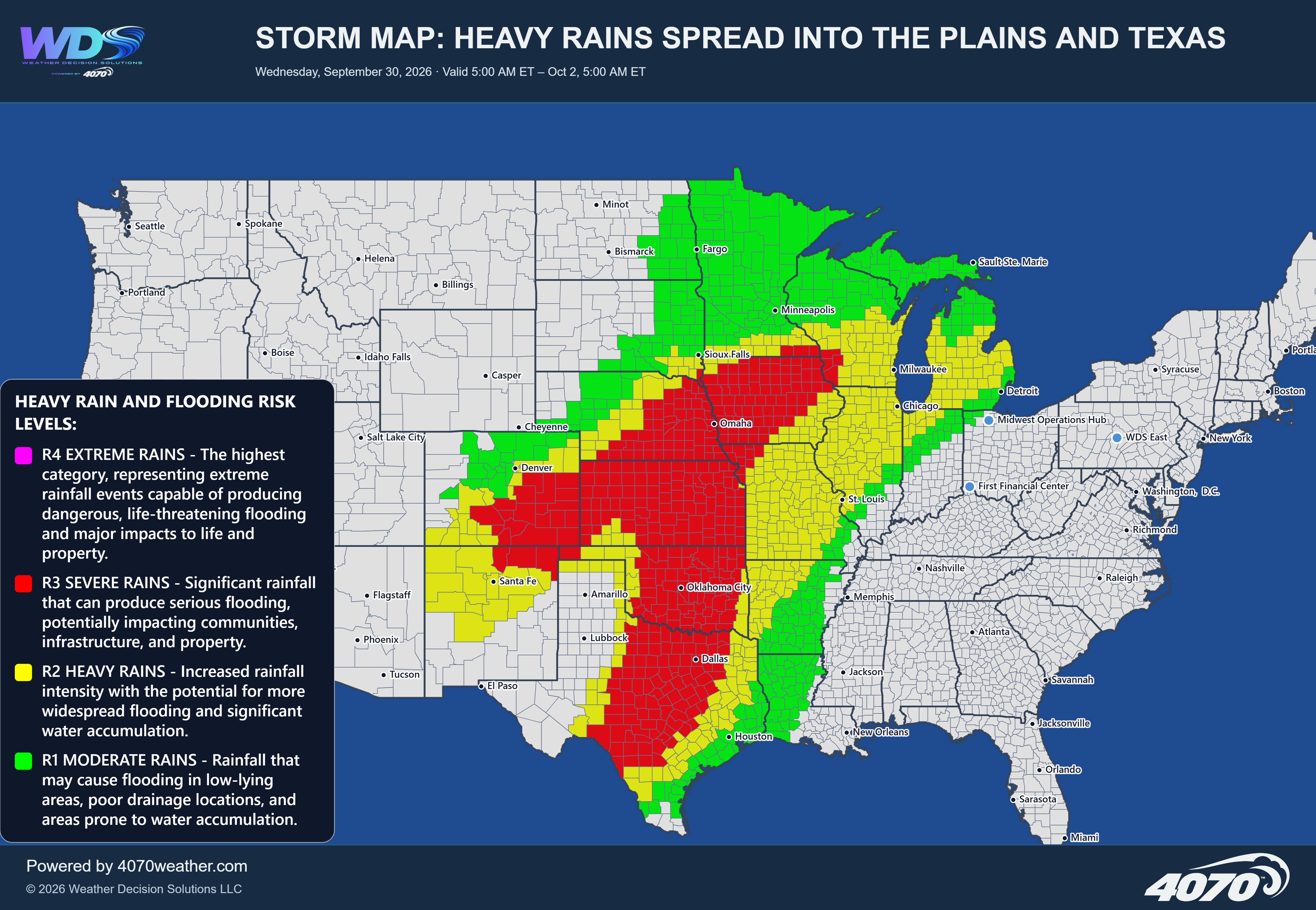
Major Storm Map: Wet Snow and Heavy Rain Threaten the Northeast
Valid Friday, November 13, into Saturday, November 14, 2026
A significant storm system is expected to develop along the East Coast Friday and intensify as it moves northward. This system will bring two distinctly different types of weather across the Northeast, with heavy rain along the coastal areas and the potential for accumulating wet snow farther inland.
Heavy Rain and Coastal ImpactsThe primary area of rainfall will extend from the Carolinas northward through Virginia, Maryland, Delaware, New Jersey, and into southeastern New England. Some of this rainfall could be heavy at times, particularly as the coastal storm strengthens.
Localized flooding will be a concern, especially in areas that experience periods of persistent rainfall. Poor drainage locations, urban areas, and locations with already saturated ground could experience water accumulation. Gusty winds will also be possible, particularly closer to the coast as the storm intensifies.
Coastal areas from the Mid-Atlantic into New England will need to monitor the storm's track and intensity, as strengthening low pressure offshore could produce periods of unsettled and windy weather.
Wet Snow Across the Interior NortheastFarther inland, colder air will become increasingly important as the storm moves northward. This will allow rain to mix with and eventually change to wet snow across portions of Pennsylvania, upstate New York, northern New England, and southern Quebec.
The strongest potential for accumulating wet snow appears to be across interior New York, northern New England, and portions of southern Quebec. Some locations could receive several inches of wet snow, with the potential for heavier localized amounts depending on the storm track and how quickly colder air becomes established.
The transition zone between rain and snow will be particularly important. Small changes in the storm's track and temperature profile could make a considerable difference in snowfall totals. Higher elevations will generally have a better opportunity for accumulating snow.
Snow Showers Behind the StormAs the system pulls away, colder air will spread across the Great Lakes and interior Northeast. Periods of snow showers could develop behind the storm, particularly across areas downwind of the Great Lakes and portions of the interior Northeast.
Some locations may see a coating of snow, while localized areas could receive more depending on the development and persistence of these snow showers.
The Bottom LineThis is a storm system worth watching closely. Heavy rain and localized flooding will be the primary concerns along the East Coast, while wet snow could accumulate across the interior Northeast and southern Quebec. The dividing line between rain and snow will be critical, and the potential for meaningful snowfall will depend heavily on the storm's final track and the availability of colder air.
With colder air already becoming established across parts of Canada and the Great Lakes, this system is another indication that the weather pattern is transitioning toward a more active winter season.
Daily Storm Reports are free public forecast discussions from the WDS ops desk.
For full forecast coverage, visit the 4070 weather platform, the forecasts page, or the storm report archive.