
Snow Showers and Strong Winds Across the Great Lakes and Northeast
Updated by Henry Margusity
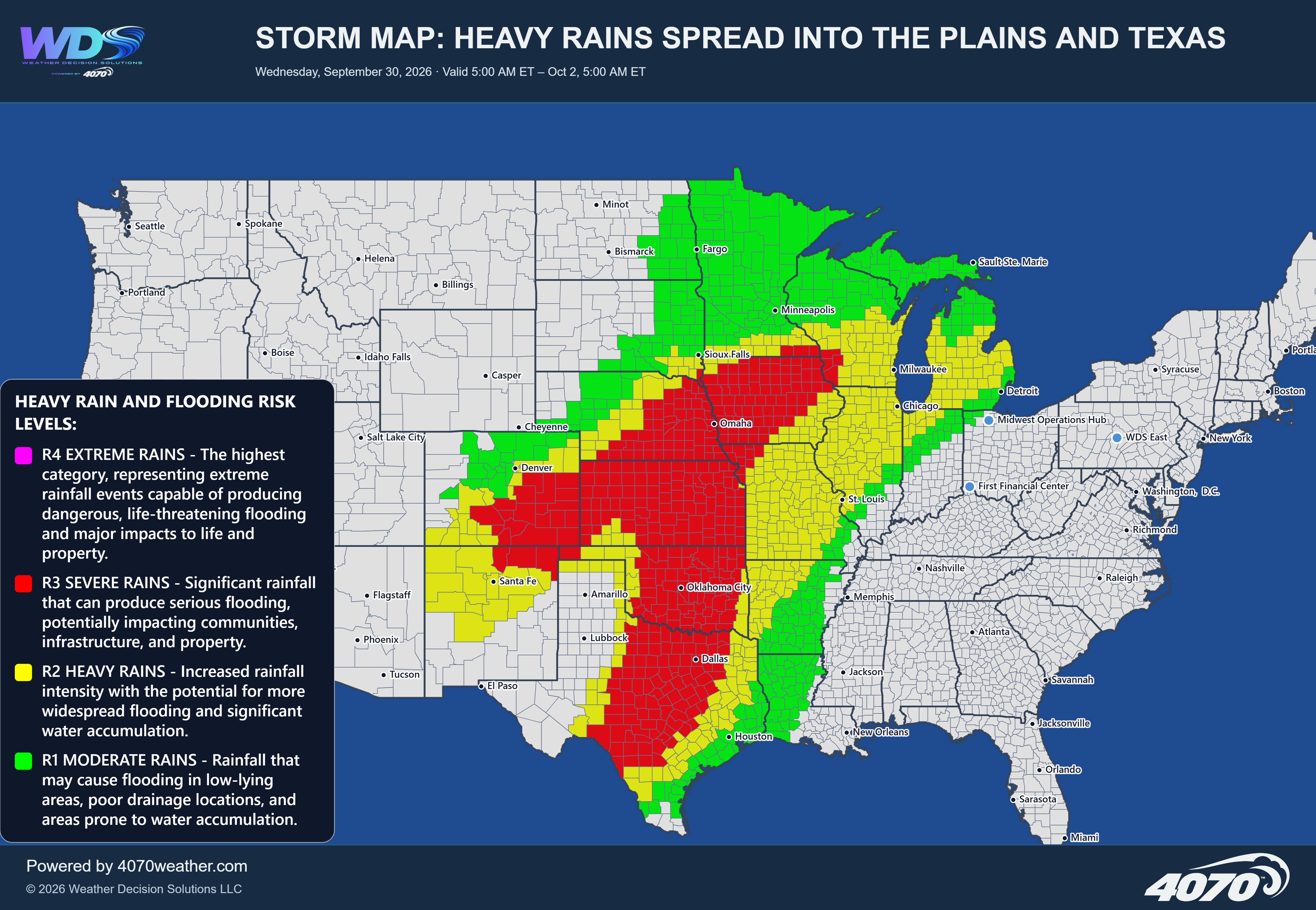

Heavy Storms and Flash Flooding Threaten the Southwest Today
A significant area of unsettled weather is expected to bring heavy rain, thunderstorms, and localized flash flooding across parts of the Southwest today, Thursday, October 22. The greatest concern stretches across Arizona, Utah, and portions of New Mexico, with additional impacts possible in surrounding areas of Nevada, Colorado, and the Four Corners region.
The combination of heavy downpours and thunderstorms could produce rapidly changing conditions, especially where storms repeatedly move over the same locations. Some areas could receive 1 to 3 inches of rain in a short period, increasing the risk of flash flooding in vulnerable communities.
Severe Storms Across Arizona and the Four CornersThe map highlights a broad area of potential severe storms extending across much of Arizona and into portions of Utah and western New Mexico. Cities and communities near Flagstaff, Phoenix, Tucson, St. George, and surrounding areas should monitor conditions closely as storms develop and move through the region.
Some thunderstorms could produce damaging wind gusts, blowing dust, and intense rainfall. Blowing dust may cause sudden drops in visibility, particularly in open desert areas and along major roadways. Stronger storms could also generate localized flooding where rainfall rates become intense.
Heavy Rain and Flash FloodingHeavy rainfall will be one of the primary hazards today. The green risk areas indicate the potential for locally heavy rain, with 1 to 3 inches possible in a short period in some locations. The red-highlighted areas indicate the potential for stronger storms capable of producing more significant flooding, blowing dust, and damaging winds.
Flash flooding can develop quickly in the Southwest, particularly in dry washes, normally dry riverbeds, mountain canyons, and low-lying areas. Even locations that receive little rain directly can be affected by runoff flowing down from higher terrain.
Impacts Into New Mexico and Nearby AreasPortions of New Mexico, including areas near Albuquerque and the Four Corners, could experience thunderstorms and periods of heavy rainfall. The exact placement of the heaviest downpours will depend on how individual storm cells develop and track throughout the day.
Localized impacts may also extend toward southern Nevada and parts of the surrounding mountain regions. Conditions will vary considerably over short distances, so residents should pay attention to local warnings and rapidly changing weather conditions.
Safety RemindersIf thunderstorms produce heavy rain, avoid crossing flooded roads, washes, or low-water crossings. Water can rise quickly and may be deeper or faster-moving than it appears. Turn around, don't drown.
Blowing dust and sudden visibility reductions can also create dangerous driving conditions. Slow down when safe to do so, and avoid traveling through areas affected by severe weather.
The Bottom LineThe Southwest faces a potentially impactful day of thunderstorms and heavy rainfall, with the greatest concern across Arizona and portions of Utah and New Mexico. Localized rainfall totals of 1 to 3 inches could lead to flash flooding, while stronger storms may produce damaging winds and blowing dust. Stay alert for changing conditions, especially through flood-prone desert areas and mountain terrain.
Daily Storm Reports are free public forecast discussions from the WDS ops desk.
For full forecast coverage, visit the 4070 weather platform, the forecasts page, or the storm report archive.