

Daily Madness: Severe Storms Hit Many Areas, While Wet Snow for May!

Severe weather will top today’s weather. The heat and humidity has moved back into the East and with the cold front coming, bands of severe storms will develop across the Northeast into the Appalachians and Mid-Atlantic this afternoon and evening. Cooler weather will move in behind the front, in fact, Friday into Saturday will be rainy and very cool across these areas as a storm moves through.
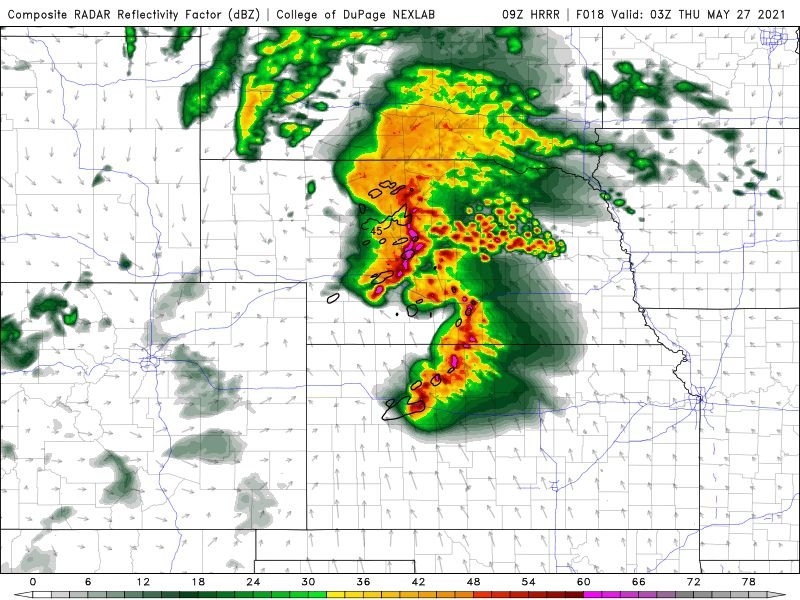
Severe weather and tornadoes will develop in the High Plains with the next storm today. We could see a couple of big tornadoes followed by wind damage type storms that move all the way into the Mississippi Valley tonight.
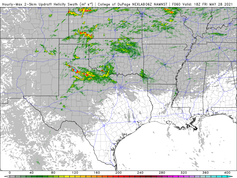




More storms develop from the mid-Mississippi Valley into the Southern Plains tomorrow. This will be an active day of severe weather with numerous reports of wind damage and perhaps tornadoes.
Snow will hit North Dakota to Northern Wisconsin tonight into Thursday. Some areas will see 1-4 inches of snow.

We are going into a warm and humid pattern across the East next week. GFS is hinting that the tropics will become active after the 6th of June.